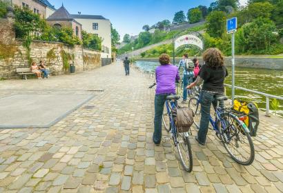
Did you know that Wallonia has over 1,400 kilometers of paths reserved for pedestrians, cyclists, horseback riders, and people with reduced mobility?
The Autonomous Network of Slow Ways (RAVeL) consists of greenways primarily developed along towpaths and old railway lines. There are more than 45 marked local routes for family walks and hikes on foot, by bike, on horseback, or on rollerblades.
This network ensures safe, comfortable, and gently sloping conditions for exploring Wallonia, its major cities, rural areas, and preserved natural spaces.
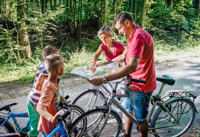
Looking for a long-distance journey?
These paths are gradually interconnected to form 4 international routes and 9 regional routes covering the entire Walloon territory.
RAVeL Maps
Free maps of the various sections of RAVeL, published for each Walloon province, are available at tourist offices or on the RAVeL website, where you can also explore an interactive map.